
Ridgewood ZIP Directory Coverage
The official material reviewed identifies two postal routes serving Ridgewood. The distinction matters. One is the standard delivery ZIP for Village addresses and the Ridgewood postal area. The other is for Ridgewood Post Office boxes. Neither row is a neighborhood roster, and the reviewed sources do not provide authoritative ZIP boundary polygons, ZIP population, or a complete list of every address that uses the Ridgewood postal label.
| ZIP | Areas covered / postal use | Post office | Record note |
|---|---|---|---|
| 07450 | Standard Ridgewood delivery ZIP serving Village addresses and the Ridgewood postal area | Ridgewood Post Office | Verify the complete address with USPS. The postal boundary is not the Village boundary. |
| 07451 | Ridgewood PO Box ZIP | Ridgewood Post Office | PO Box use, not a second municipality. Confirm whether the search concerns street delivery or a box. |
Use 07450 and 07451 as routing facts, not geographic shortcuts. A complete address, a parcel key, and the relevant record date remain more useful than a generic list of streets assigned to a postal route.
Ridgewood USPS Delivery Check
USPS lookup is the verification route for a complete delivery address. It may distinguish a street address from a PO Box. The research did not treat an unattended result as authoritative because the captured query ambiguously returned Ridgewood, New York rather than a reliable Ridgewood, New Jersey result. Enter the complete address directly in the official service instead of assigning a ZIP from a general street list.
The USPS address-lookup form is the official starting point in the Ridgewood ZIP code directory.
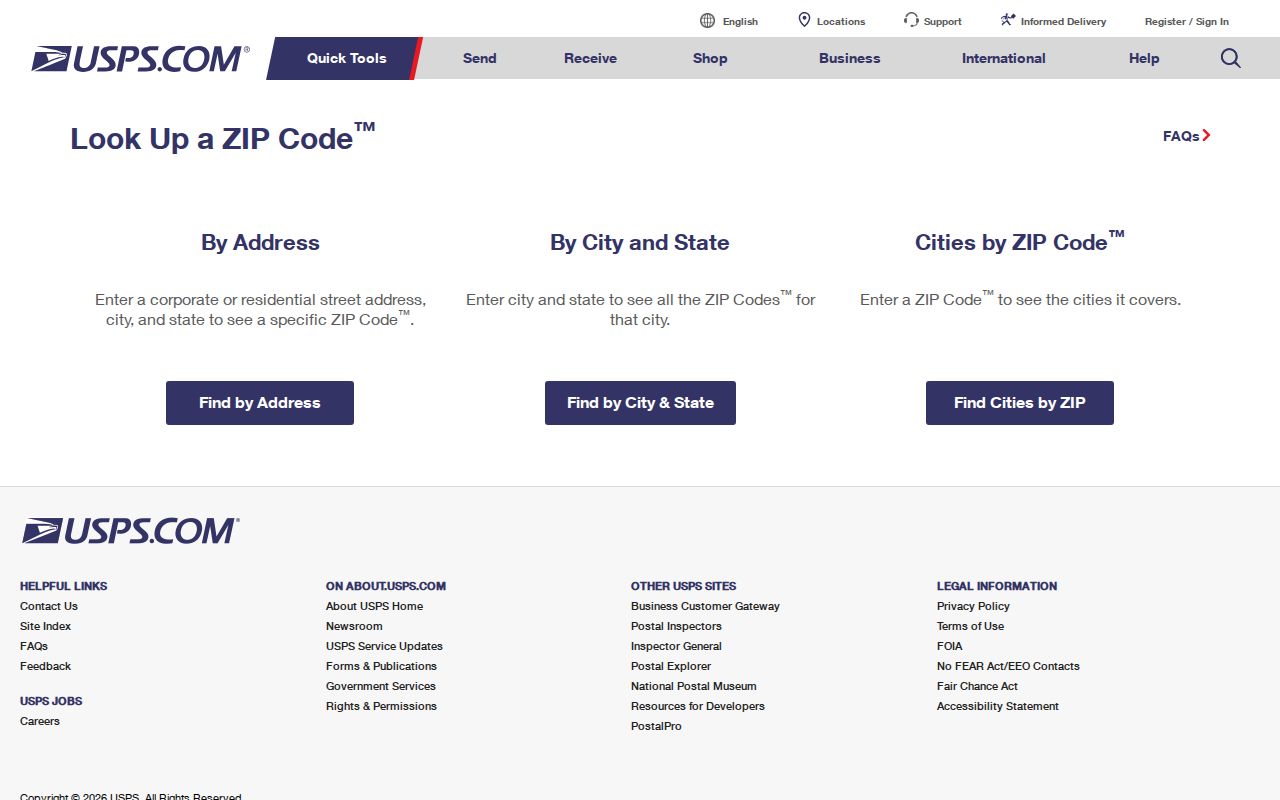
The form supports a repeatable check of the delivery address before the result is compared with tax, map, or historical sources.
Ridgewood ZIP and Village Lines
Ridgewood is legally the Village of Ridgewood, even though some directories and project labels use city language. A ZIP is postal routing, not a municipal boundary. A Ridgewood ZIP can serve an address outside the exact Village line, and a map or parcel system can describe a different geography from the postal result. The correct response to a mismatch is to preserve both values and ask the office responsible for that record, not to alter one result to fit the other.
The same caution applies to nearby postal labels. Hohokus 07423, Glen Rock 07452, Midland Park 07432, Waldwick 07463, Township of Washington 07676, Hawthorne 07506, and Wyckoff 07481 appear in the research only as nearby navigation leads. They are not a complete boundary list and do not prove that a particular address is inside or outside Ridgewood.
Postal-boundary check. Do not assume every 07450 address lies within the Village of Ridgewood. USPS answers delivery routing, while municipal and parcel records answer different questions.
Ridgewood ZIP Record Process
There is no single ZIP-wide roster for Ridgewood. The dependable method moves from a complete address to the system that is keyed to the question at hand. USPS determines routing. The assessment search uses municipal and parcel fields. Parcel tools locate a geographic object. Older directories and maps provide a dated address context. The voter system confirms an individual rather than offering a ZIP browse list.
- Enter the complete street or PO Box address in the official USPS lookup and retain the returned postal result.
- Use the address, county, municipality, or block and lot in the appropriate parcel tool to place the location in its map and tax geography.
- Open NJ Assessment Records Search, choose BERGEN and Ridgewood district 0251, then search by Location, block, or lot. ZIP is not an exposed field there.
- Compare the block, lot, situs, mailing address, and postal result. If a historic record is involved, add the tax map or Sanborn sheet before declaring the addresses equivalent.
Once a ZIP result narrows the address, the Ridgewood Street Directory provides the address-by-address parcel and deed method. It is more precise than trying to treat a ZIP as a resident list.
Ridgewood ZIP Source Roles
Each source in the postal workflow has a distinct role. USPS answers which ZIP the complete delivery address receives. The assessment system answers which Bergen and Ridgewood tax row matches a location, block, or lot. NJGIN places a parcel within county and municipal geography. A historical directory offers a dated street or occupant association. The voter system remains an individual registration tool. None of those records is a complete ZIP roster, and their results should never be collapsed into one list.
The County Clerk's recording data makes the distinction concrete. Deed work uses municipality, block, lot, consideration, grantee mailing address, and party names. Postal verification needs the deliverable street or PO Box address. Keep both sets of values, the source year, and whether the item came from a live portal, a map, a scan, or an inference. That record trail makes an apparent disagreement easier to audit later.
For a new or disputed address, ask the Village Planning or Assessor office and USPS which system controls the question. Defined address evidence beyond a parcel may be available through an OPRA request for permits or code records, but no verified public Ridgewood permit index was located.
Note: Postal, parcel, and municipal results may all be accurate even when they describe different boundaries or different dates.
Ridgewood ZIP Address Fields
Postal and property systems use different keys. A useful research note keeps them in separate columns rather than merging them into a single address. That separation explains why a tax-listed owner can receive notices elsewhere, why an old deed may use only a legal description, and why a postal label may not match the Village boundary.
| Address value | What it identifies | How it is used locally |
|---|---|---|
| Situs address | The physical parcel location | Use for an assessment location search and map comparison. |
| Mailing address | The notice destination supplied with a tax record | It can differ from the situs and does not prove occupancy. |
| Legal description | Block, lot, subdivision, or metes-and-bounds identity | Use as the stable bridge to deeds, plats, and tax maps. |
| ZIP / city label | Postal routing | Verify from the complete delivery address through USPS. |
The assessment form does not expose ZIP as a search field. It does provide Location, Owner Name, Block, Lot, and Qualifer, along with Simple or Advanced and several output formats. That limitation is useful: it tells the researcher to validate the postal address separately rather than fabricate a postal filter.
Ridgewood ZIP Parcel Tools
NJGIN Property Explorer and parcel guidance offers address, county, municipality, and block/lot routes for placing a parcel in geography. It is a parcel tool, not a postal service. Hosted parcel and tax-list downloads or map applications can redact owner names under Daniel's Law, and Bergen parcel boundaries may not edge-match a neighboring county.
New Jersey parcel and address-data guidance describes the parcel layer used alongside a Ridgewood postal check.
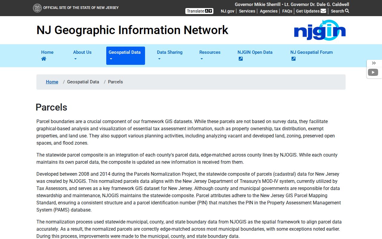
Parcel geography is a useful second layer after USPS, particularly when a delivery label and municipal description need to be kept distinct.
Ridgewood ZIP Historical Geography
Old address records may use a name that predates the present Village boundary. The County Clerk history reports that Ridgewood was created on November 20, 1894 with the boundaries of Ridgewood Township, formerly Godwinville. Portions were added from Orvil Township in 1902 and returned in 1915; an area came from Franklin Township in 1925; and areas came from Washington Township on February 9, 1971, and Ho-Ho-Kus on May 28, 1974.
Those municipal changes are a supported bridge for historic geography. They are not proof of a ZIP realignment or street renumbering. No official E911 readdressing authority, complete street-renumbering schedule, or ZIP split year was located. If an old directory says Ridgewood Township or Godwinville, retain the wording and compare it against the parcel's legal description, map, and date.
Ridgewood ZIP Map Bridges
The official Ridgewood tax-map exhibit shows blocks, lots, street names, parcel lines, right-of-way marks, exempted parcels, acreage, and a one-inch-equals-100-feet scale. Its revision entries span 1959 through 1990. For older continuity, the Heritage Center has the 1897 Millar map, assessment maps from 1908, 1913, 1925, and 1969, and the 1913 Bromley map.
The Ridgewood Sanborn sequence includes 1916, 1925, 1928, and 1930. The 1930 material can help locate a pre-1930 house number. A map shows physical context and parcel relationships, not delivery routing or an occupant list. Use it to test an old street label against the legal and historical record trail.
- ZIP
- A five-digit postal routing code assigned through USPS delivery addressing.
- ZIP+4
- An added four-digit segment that further identifies a delivery grouping within the same ZIP.
- PO Box ZIP
- A postal code used for box delivery at a post office. Ridgewood 07451 is the reviewed local example.
- Unique ZIP
- A code assigned to one organization or place. None was documented for Ridgewood in the reviewed official material.
- Carrier route
- A mail-delivery grouping, not a municipal boundary or a public resident roster.
Ridgewood ZIP Privacy Limits
A ZIP does not convert public records into a list of all residents. The New Jersey voter self-lookup is for individual registration confirmation. A lawful full-file request goes through the county or state Title 19 process and excludes protected addresses. NJGIN owner data can be redacted under Daniel's Law. Utility customer and DMV address data are not public substitutes for a ZIP directory.
Use a Ridgewood ZIP code directory for verification and record organization, then confirm a person, parcel, or historical connection through the appropriate custodian. If a protected address or redacted parcel prevents a match, leave the gap in place. A missing result is not evidence that an address has no connection to Ridgewood.
Note: Record the full address, postal result, source date, and source type so later researchers can see where a disagreement began.