
Ridgewood Neighbor Blocks
A block lookup should separate physical adjacency, recorded ownership, and public community activity. The parcel layer helps identify nearby geometry and tax-map references. The assessment list can then return a tax-listed owner or parcel row, and deeds can test the recorded title trail. Voter information and agendas are narrower forms of public context. Neither establishes a full household. The table keeps the source claim tied to the access route rather than treating a neighborhood as one searchable record.
| Source | What shows about a block | Access |
|---|---|---|
| GIS parcel service | Adjacent parcel geometry, street and tax identifiers, municipality, and available layers | Public service and map; popup contents were not verified |
| Assessment list | Owner and parcel rows by location or block, with possible mailing, value, and deduction fields | Free search with Bergen, Ridgewood district 0251, and list outputs |
| Recorded deeds | Parcel-by-parcel ownership and transfer history | Online from 1970; older counter or microfilm |
| Voter records | Statutory fields when lawfully obtained, not a verified browse-by-block tool | Individual lookup or Title 19 request; protected addresses omitted |
| Agendas and directories | Public civic names or dated historical occupants, not private block membership | AgendaCenter and Heritage Center access routes |
Owners and occupants are not interchangeable. A tax mailing address may be somewhere else, while an address directory records a historical association only for its publication year. A no-result can reflect a protected, exempt, or unmatched record. It is not evidence that a block is empty or that no one lives at a parcel.
Ridgewood Neighbor Parcel Geometry
The Bergen parcel feature layer supplies polygon geometry and query capability. Its display field is STNAME, its field list includes TAXMAP, and its maximum record count is 2,000. The related service identifies tax maps, parcels, municipality, and Bergen County layers. Those confirmed capabilities make the layer useful for locating a parcel and recording its map identifiers. The research did not capture a live popup, adjacent-parcel result, selection control, radius, buffer, or measurement workflow, so none should be assumed.
The feature-layer image below is the official geometry source used for a careful Ridgewood block inquiry.
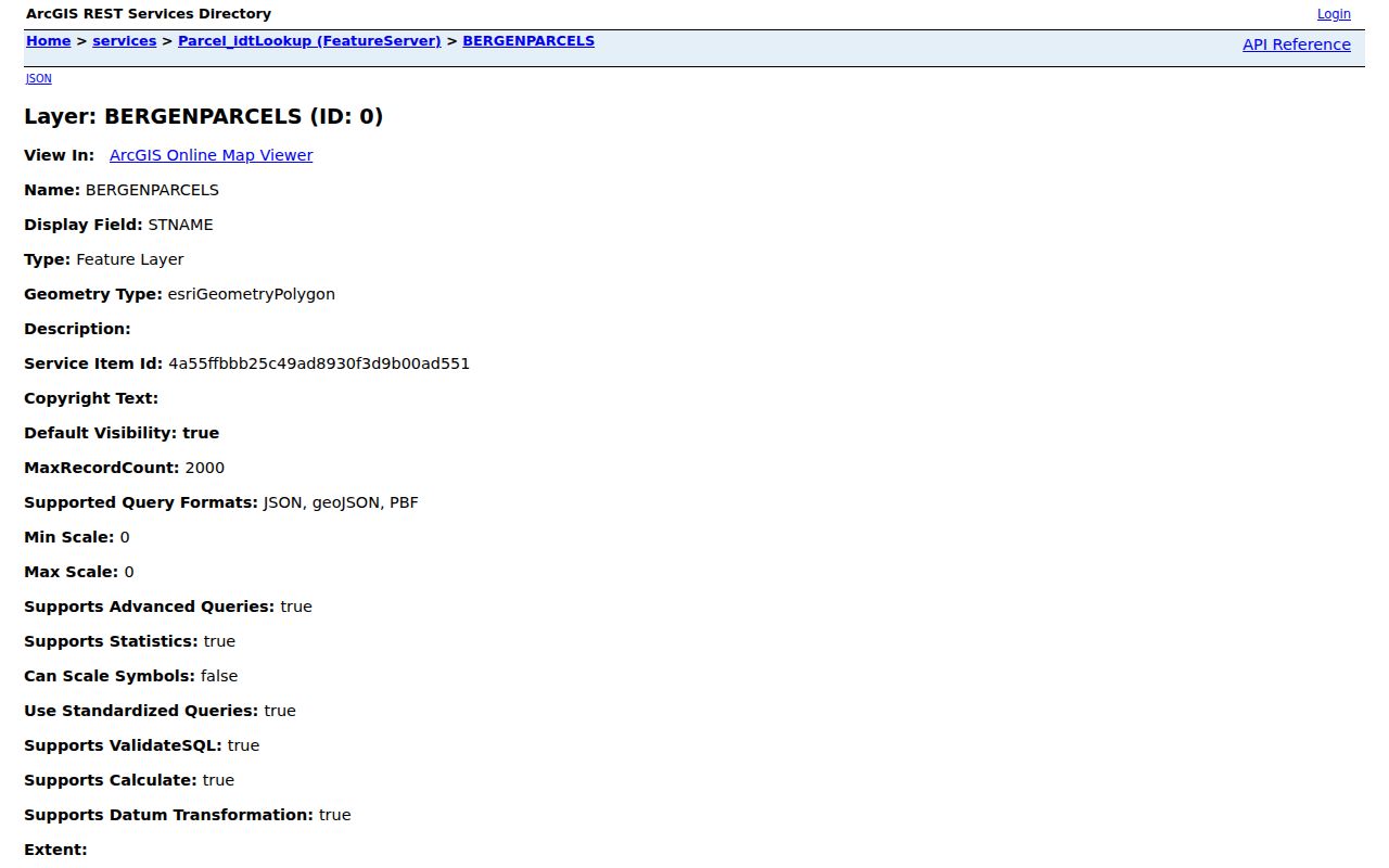
Compare the road centerline and legal parcel edge before treating two parcels as adjacent. A parcel across a road may be close on screen yet outside the same tax block. Corner lots may appear on either street. A condominium-qualified or multi-lot property can also produce more than one assessment row. The map establishes spatial context, not the identity of people within a building.
Mapping Ridgewood Neighbor Parcels
Begin at the target parcel and stop at immediate polygons sharing a boundary or street frontage. That stopping rule prevents a small block question from quietly becoming a whole-ZIP search. Use the map and tax map to identify the target's block, lot, or tax-map reference. Then keep three separate ledgers: geometry from GIS, ownership or transfer from assessment and deeds, and civic or historical context from agendas and directories. Dates matter because a map, assessment row, and recorded transfer may not update at the same time.
- Locate the address in the Ridgewood ArcGIS Map Viewer, then note the target parcel and its tax-map identifier.
- Record immediate surrounding polygons or street-frontage parcels without claiming that a live popup revealed an owner or a distance.
- Run each identifier, location, or block and lot through the assessment search, preserving the query, source date, and any returned owner or mailing field.
- Cross-check each parcel in the Bergen deed index. When the map and tax map disagree, retain both descriptions and ask the County Clerk or Assessor which record controls.
For a whole named street, use the separate Ridgewood Street Directory workflow. The immediate-block method is intentionally smaller. It keeps a map's visual proximity from becoming an unsupported claim about a resident relationship.
Note: If an assessment row has no owner, the source may reflect an exemption, protection, or portal mismatch rather than an unoccupied parcel.
Ridgewood Neighbor Owner Cross-Check
The NJ Assessment Records Search lets a researcher select Current Owners/Assmt List or Deed/SR1A List, BERGEN, and Ridgewood district 0251. Location, owner name, block, lot, and qualifier are optional criteria, with Simple or Advanced search and Single Line, Multi Line, or Excel output. The assessment row is a tax-list result. It can identify an owner associated with a parcel, but it cannot establish that every person at the situs address is an owner or current occupant.
Use the Bergen County land-record index for the separate title question. A deed can name grantor and grantee, date, legal parcel, consideration, book or document reference, and image or copy path. The online index begins January 1, 1970. Earlier work moves to the County Clerk counter, deed books, or microfilm. Search both a seller as grantor and the prior owner as grantee while checking municipality, block, lot, and dates.
Mailing address, situs address, and legal description should remain in different columns in the notes. A deed can transfer title before the assessment row changes. An assessment list can lag a new recorded transfer. That disagreement is a reason to record dates and consult the source, not to choose the most convenient name.
Ridgewood Neighbors and Voter Access
New Jersey's Voter Information Portal is meant for individual registration confirmation. The inspected research did not verify its live form fields or a public block-browse function. N.J.S.A. 19:31-18 identifies public registry fields as name, address, date of birth, party affiliation, and voting history, subject to exclusions. N.J.S.A. 19:31-18.1 allows certain printed or electronic county lists for voters, while excluding signatures and protected addresses. It also restricts commercial or charitable solicitation use.
Use the county or state elections custodian for a lawful list request and state the election-district scope, requested fields, fee, medium, and need for protected-address exclusions. A registration result is evidence of registration, not proof that a person is part of every household at the address. Participation history does not reveal ballot choices. A person named in a voter record should never be used to fill in a block roster from a map.
Ridgewood Public Boards Nearby
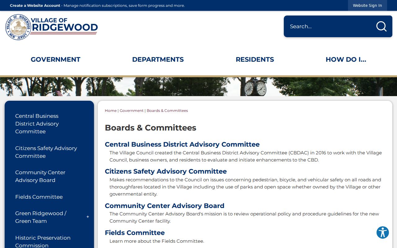
Public boards offer a community layer that is different from a neighbor list. The Village's Boards and Committees inventory identifies public bodies and their official presentation. It does not say that everyone who appears in a meeting is a neighbor of a target address. Use it to find the public body responsible for a civic topic, then rely on that body’s posted contact information or meeting record as presented by the Village.
Planning and Zoning
Planning and Zoning Board are listed public bodies for land-use matters.
Land and Recreation
Open Space, Parks/Recreation/Conservation, Fields, Shade Tree, and Green Ridgewood/Green Team appear in the inventory.
Community Advisories
Citizens Safety, Community Center, Historic Preservation, Residential Flood, and Central Business District Advisory are public listings.
The inventory also lists Kasschau Shell, Library, Pride Day, Arts Council, Beautification, Community Access Network, and Stigma-Free. Ridgewood's Council has five at-large nonpartisan members. These are useful public contacts and civic subjects, not an official directory of homes or an implied member roster.
The official boards-and-committees image below shows the public inventory used for that limited Ridgewood civic context.
Published organization contacts should be used only for the purpose and scope stated by that organization. The research found no official Village-wide neighborhood association, HOA, congregation, block-watch, or service-club membership directory.
Ridgewood Neighbors in Public Agendas
Ridgewood AgendaCenter searches Start Date, End Date, Enter Search Terms, and Select Category. Its period controls include Last Week, Last Month, Last 6 Months, and Last Year. The research indicates that many records reach back to around 2021 or 2022, with some earlier material at an archived site. Search a street name, a public project, or a meeting topic when the goal is to find public participation related to that subject.
The AgendaCenter image below documents the official public-agenda route for a Ridgewood block inquiry.
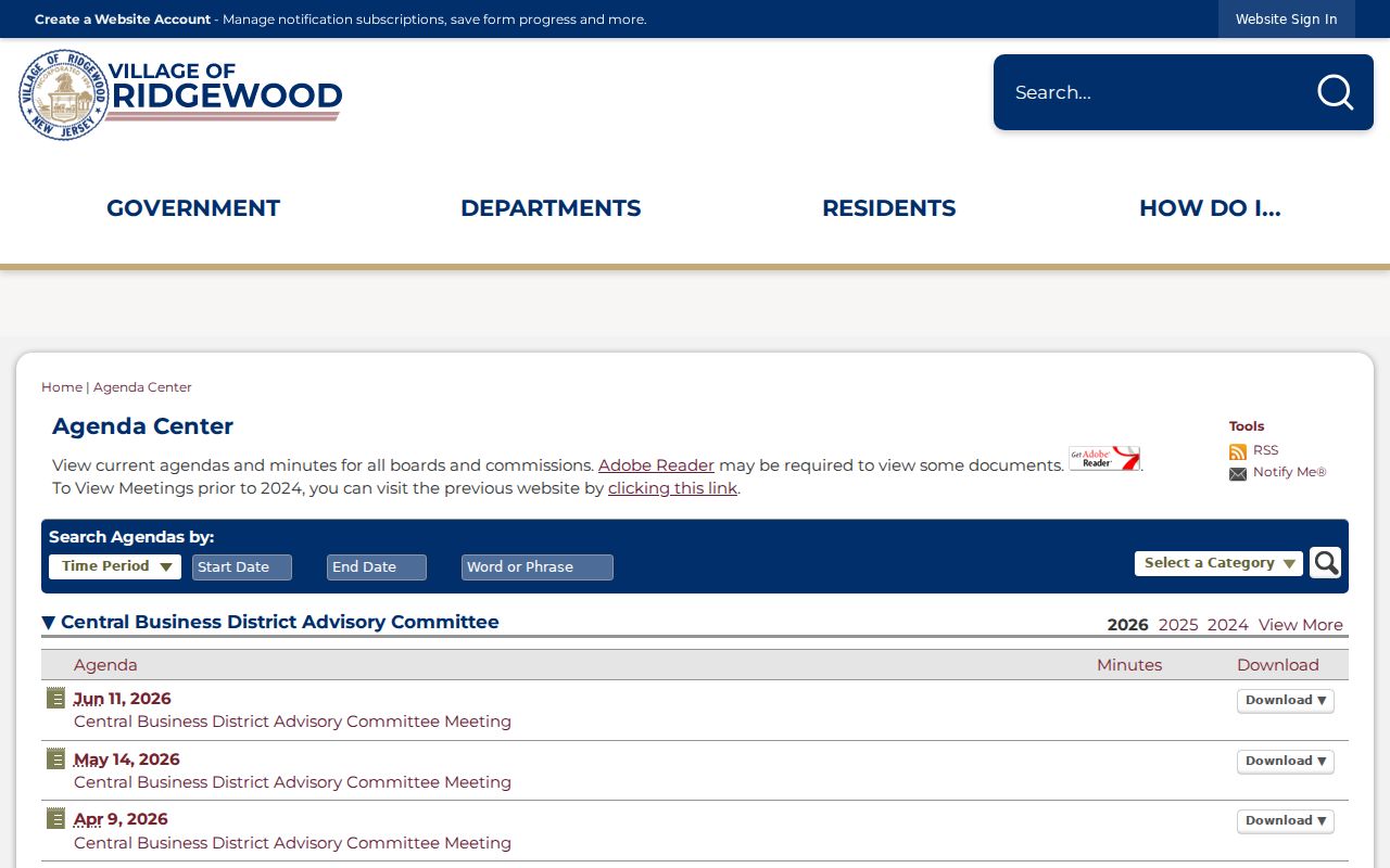
Label a named speaker, appointee, or commenter as a public participant. Do not infer that person’s home is on the target block. Historical directories, the Library, and the Historical Society can add dated neighborhood photographs, maps, clippings, and oral-history leads, but each name still needs its own source and date.
Ridgewood Neighbor Directory Gaps
Ridgewood's public record inventory is deliberately incomplete for a private-block question. No official Village-wide neighborhood or HOA directory, open member directory, public block-watch roster, or verified adjacent-parcel popup was located in the research. The absence matters. Public parcels and civic records cannot reproduce a private block roster. Household members, utility and delivery customers, protected voters, and redacted officials may be invisible in the public trail.
Use sources by category rather than mixing their claims. Official records are tied to a custodian, parcel, docket, request process, or published agenda. Commercial neighbor-lookup tools are a different category built from public fragments, supplied data, and other feeds. Their data can be stale, incomplete, or attached to the wrong person, and an opt-out from such a tool does not alter a deed, court file, or vital record held by the official custodian.
| Record category | Best use | Boundary |
|---|---|---|
| Official parcel and deed records | Trace geometry and recorded title, with dates | They do not list every current household member |
| Official agendas and boards | Confirm public civic activity or the body responsible for a topic | They do not establish a home address or private membership |
| Commercial lookup category | Potential lead only, verified with the original custodian | May be stale, mismatched, or incomplete |
Note: Preserve the map, assessment, deed, and agenda sources separately so later corrections do not erase their different meanings.
Ridgewood Neighbor Lookup Limits
New Jersey confidentiality rules apply even when a search begins with an address. The Address Confidentiality Program gives qualified participants a substitute address for future agency exposure. Daniel's Law and the Office of Information Privacy protect eligible officials and household information. Do not work backward from a redaction, combine old map details to expose a protected address, or republish a record that a custodian has shielded.
OPRA can seek a defined agency record, but it does not override exemptions or compel an agency to create a neighbor list. Ask the correct custodian about a factual error or a protected-record concern. Keep a source date, separate the situs from a mailing address, and avoid copying voter signatures, ballot information, full birth details, or any address covered by a protection program.
Lawful use. Ridgewood neighbor research is limited to personal, lawful property and civic context. Never use maps, records, agendas, or a missing-record gap to stalk, harass, intimidate, or harm any person.